(Be sure to check out the links at the bottom.)
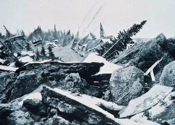
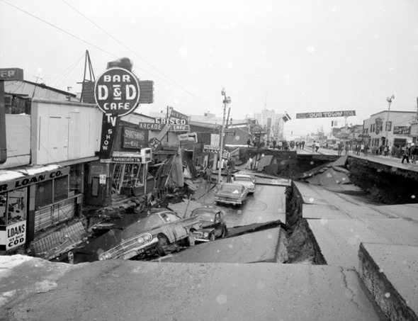
Terrain outside Anchorage, Alaska after the March 27, 1964 Earthquake (Magnitude 9.2)
It was the second most violent earthquake ever recorded—and these pictures are from 75 miles away from the epicenter. All told, nearly 100,000 square miles of land experienced "vertical displacement of up to 38 feet". It was so powerful that it produced a tsunami that caused damage in Hawaii. And Japan.
This part of Alaska lies on what's called a "subduction zone." Tectonic faults like the San Andreas Fault have two plates sliding sideways, with one going north and the other going south. In a subduction zone, you have one tectonic plate sliding into—or under—another. Eventually so much pressure builds up that one of the plates buckles, and suddenly you have bits of land that are fifteen feet higher or lower than they used to be.
If you go out into Resurrection Bay there are small islands that dropped several feet deeper into the water. All the trees on those islands sucked sea water up into their roots and all the way up into the larger branches, killing the trees and preserving them as they were 50 years ago.
Full Album of selected Photographs
Youtube account from Woman (7 years old at the time) which I thought was fascinating.
http://miepvonsydow.wordpress.com/2013/12/28/terrain-outside-anchorage-alaska-after-the-march-27-1964-earthquake-magnitude-9-2/
--
__._,_.___


No comments:
Post a Comment